

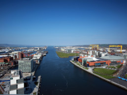
Belfast is part of a joint project funded by the UK Space Agency’s Space for Smarter Government that’s using satellite technology to help planners and residents better understand urban air pollution.
The project is being delivered by a collaborative network of SMEs that includes Geospatial insight, Earthsense, 3DEO and Redshift. Facilitated by Professor Alan Wells the project also includes NI Government Departments, health officials and council staff, including Belfast’s air quality officers and Smart Belfast consultants.
Working in both Belfast and the English town of Bicester, the team will use machine vision cameras and air quality sensors to gather traffic and air quality data. In Belfast this will be along the Westlink, Albert Bridge and Ormeau Road. The project will focus on levels of nitrogen dioxide, PM2.5 and PM10. (These pollutants are of increasing concern to clinicians and governments worldwide.)
Combined with satellite data from the UK Space Agency (that will map ‘urban canyons’ and other artificial structures that can have an impact on air quality), scientists plan to study three main things:
- Impact on health outcomes: Working with clinicians from the Belfast Health Trust, the team will study the relationship between local air quality and respiratory and circulatory diseases, and with Type II diabetes.
- School Run: The team will look at the impact of the ‘school run’ on local air quality particularly along walking, cycling and bus routes.
- Helping residents make healthier route choices: Putting insights about local air quality into the hands of residents. Perhaps using a phone app, the project will allow us to make more informed choices about cycling and walking routes.
The project will begin to deploy sensors and cameras in autumn 2018 with data becoming available later in the year.
